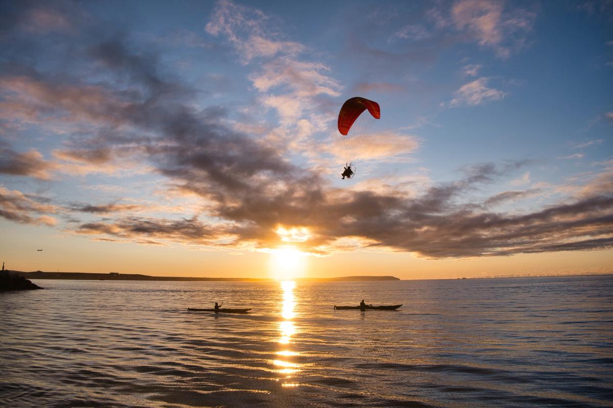
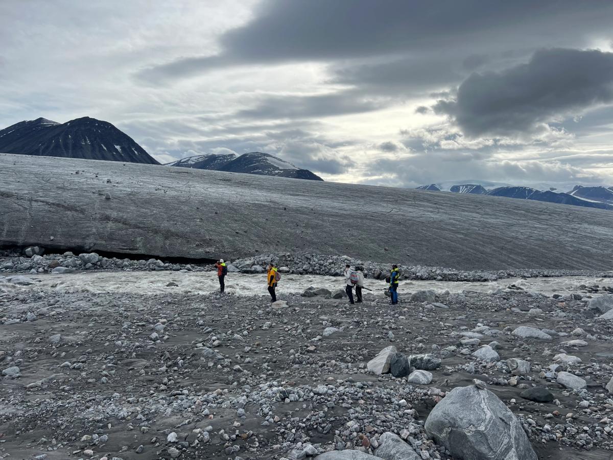
Reached the Aleutian Islands!
Good winds have taken the crew South to the Aleutian Islands. This long chain of 69 volcanic islands is home to many seabirds, mammals, and fish.
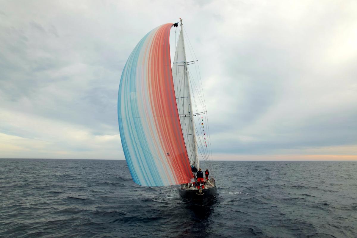
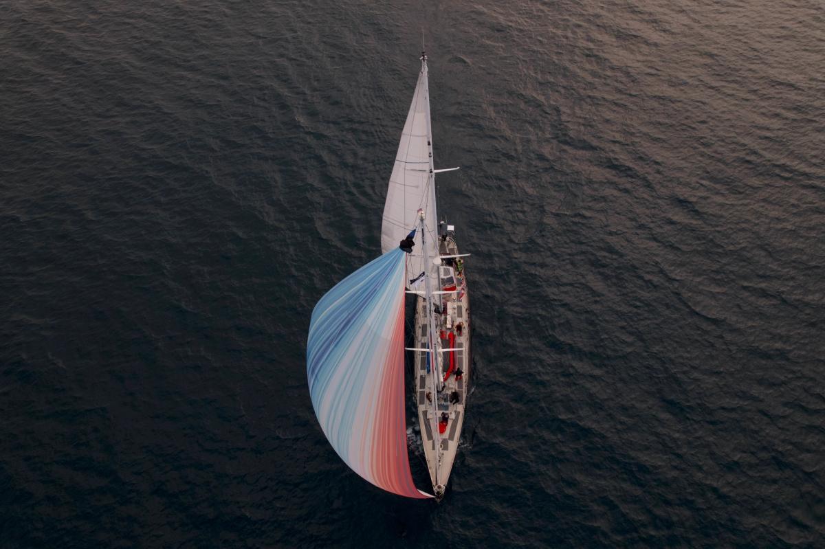
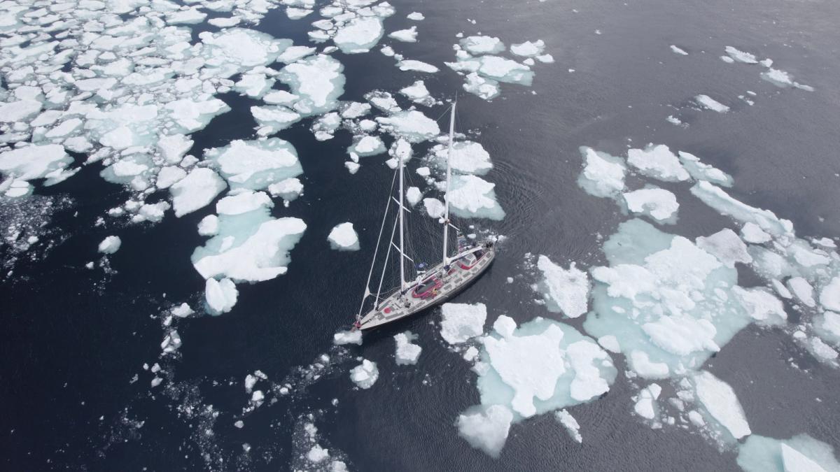
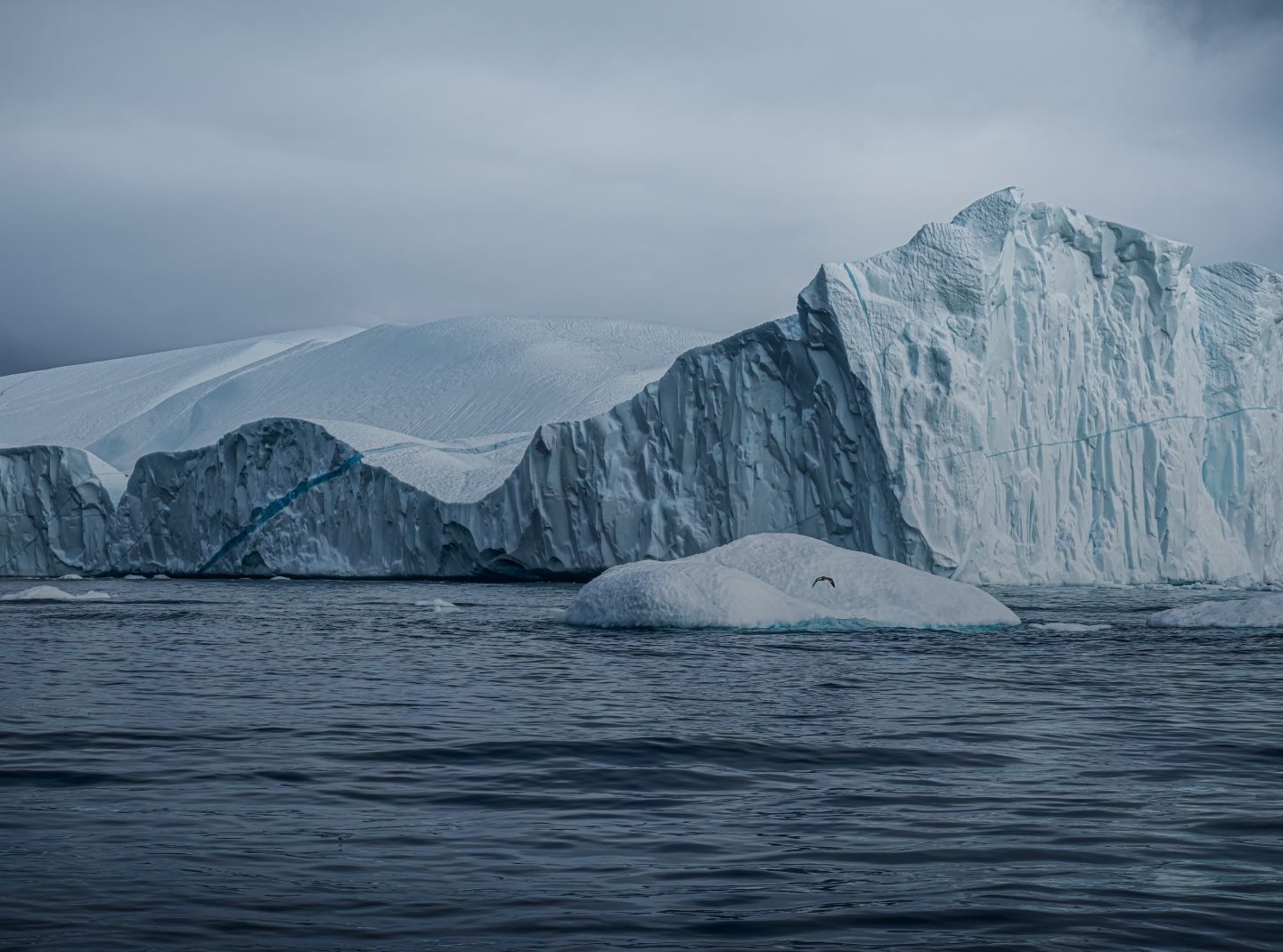
 The Abel Tasman sails by the Aleutian Islands. Credit: Cléo Campe, MEDIA.etc